Read also

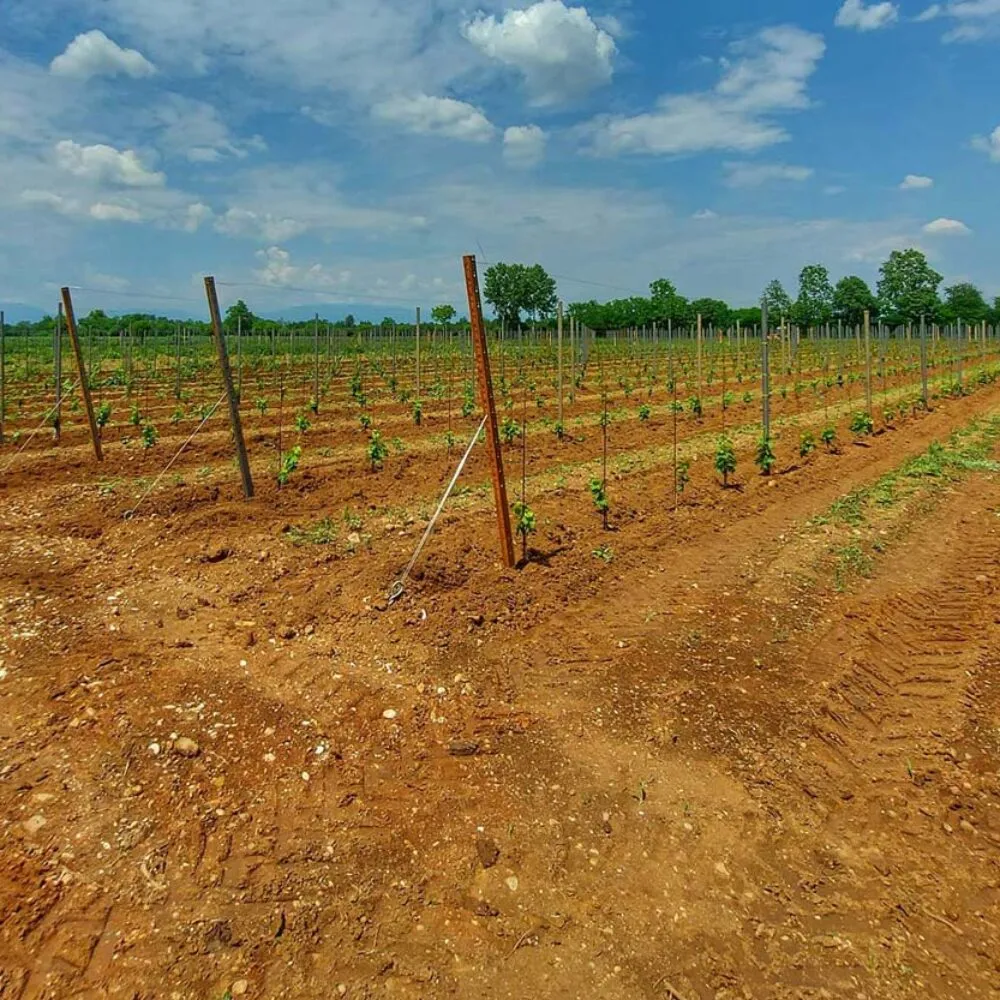

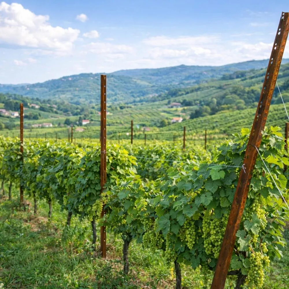
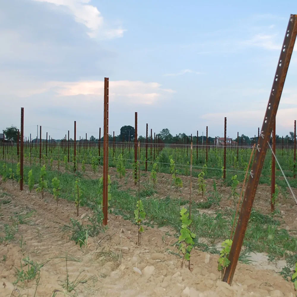

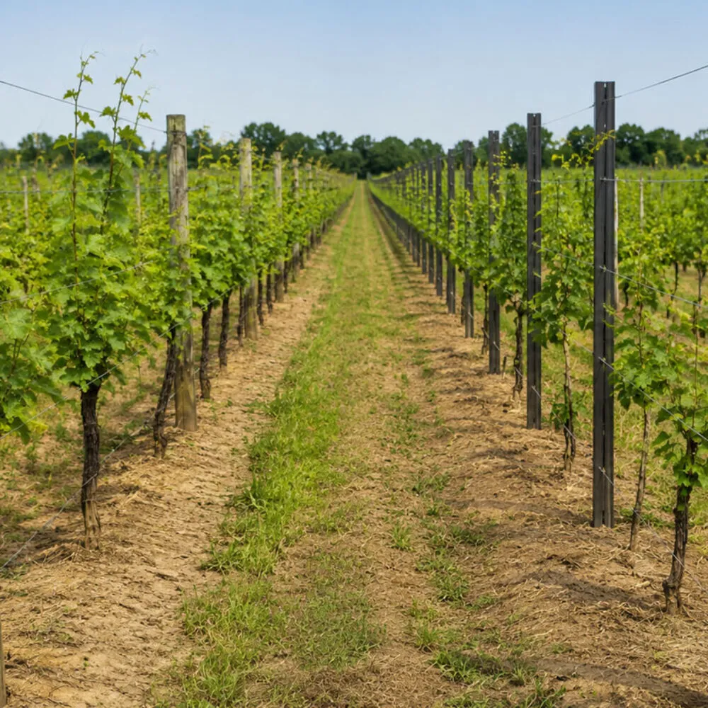

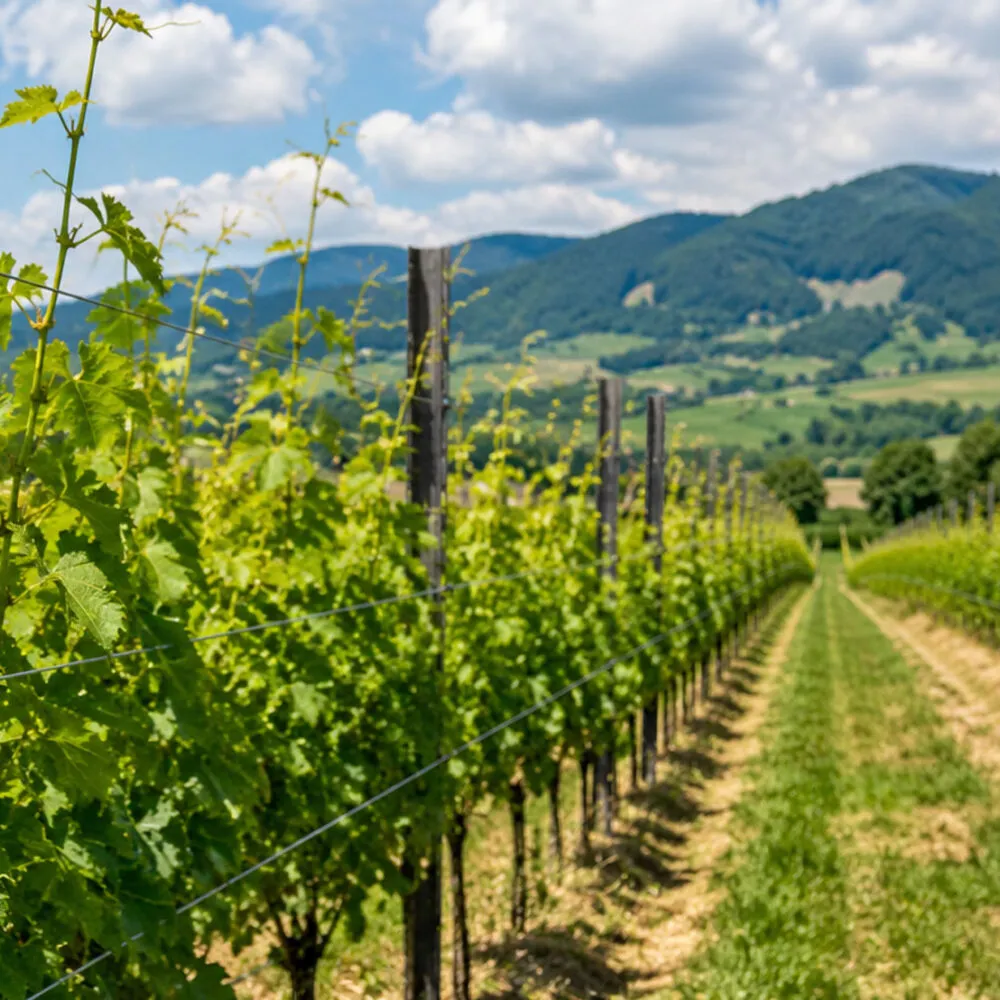


A good vineyard layout decides how many rows fit in your field, how many vines and posts you need, and how easily machines will move between the rows. With Vigneto Facile, the free online vineyard planner by Sika, you can draw your plot, set rows and spacing, choose posts and wires and get a full materials list in a few minutes, without registration.
A vineyard layout plan starts from the shape of the field and ends with a bill of materials. In between, you need to decide the headlands at the end of each row, the side margins, the row orientation, the row spacing, the distance between vines and the post spacing along the row. Every choice changes the number of rows, vines, posts and metres of wire. Doing it by hand takes time, and a small mistake multiplies across the whole vineyard.
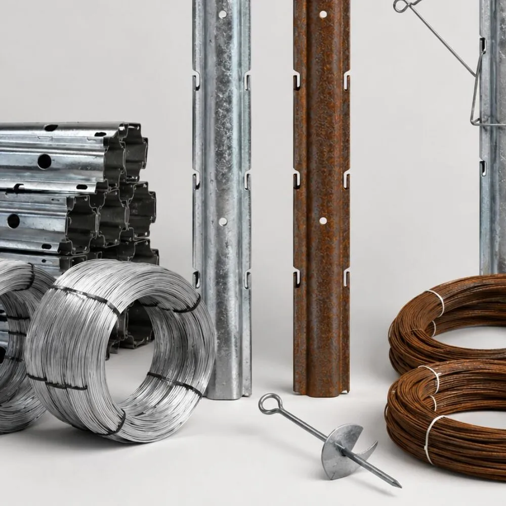
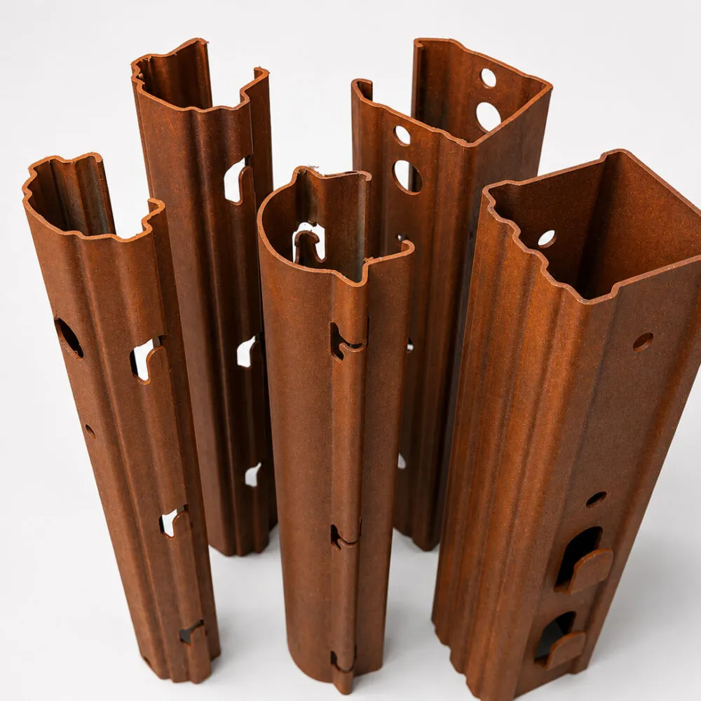
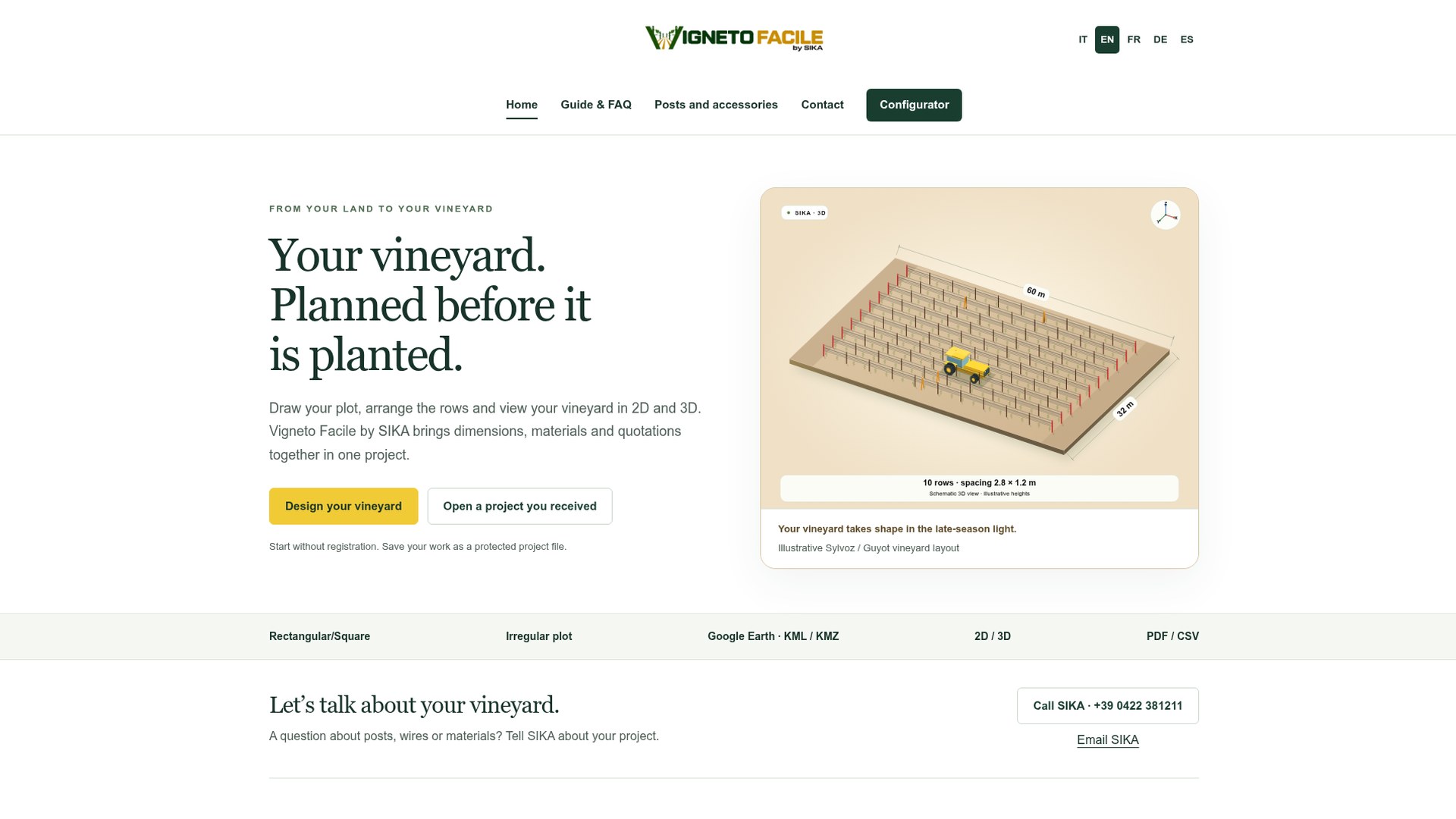
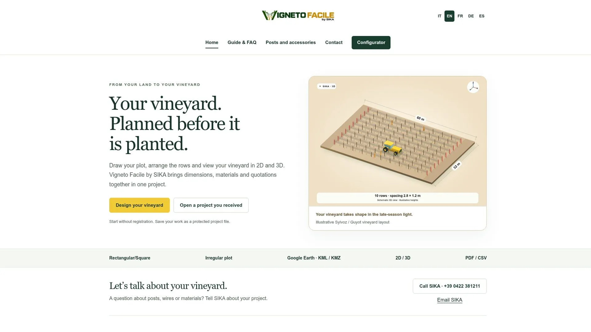
Vigneto Facile is the online configurator developed by Sika, manufacturer of vineyard posts in Corten and galvanised steel. It runs in the browser, needs no registration and is available in English, Italian, French, German and Spanish. All measurements are in metres. In a single project it links the plot, the trellis structure, the material quantities and the quotation.
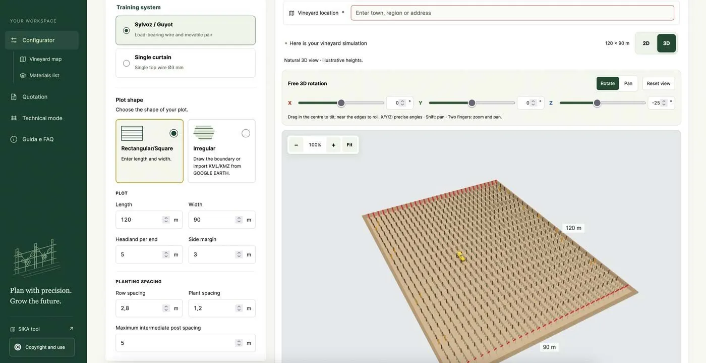
In Configure the vineyard, first choose the training system: Sylvoz / Guyot, with a load-bearing wire and a movable pair, or Single curtain, with a single top wire of 3 mm. Then choose the plot shape:
Finally, set the headland per end, the side margin, the row spacing, the plant spacing and the maximum intermediate post spacing.
For an irregular field, the most accurate way is to start from Google Earth. Draw and save the field boundary as a polygon, export it as a KML or KMZ file, then in the configurator choose Irregular and Import KML/KMZ from Google Earth. Select the plot, check the preview and confirm: the boundary must be closed. You can also start from a photo of the field, but then you need to enter a known area to calibrate the measurements.
The Vineyard plan updates in real time and can be viewed in 2D or 3D, with free rotation and zoom. Below the map you find the summary: area, rows, usable length, total posts and estimated vines. In the default example, a 120 x 90 m field (about 394 x 295 ft), the configurator calculates 1.08 ha (2.67 acres), 31 rows, 745 posts and 2,852 vines. With the Row orientation slider you change the row angle, and the map and quantities update together.
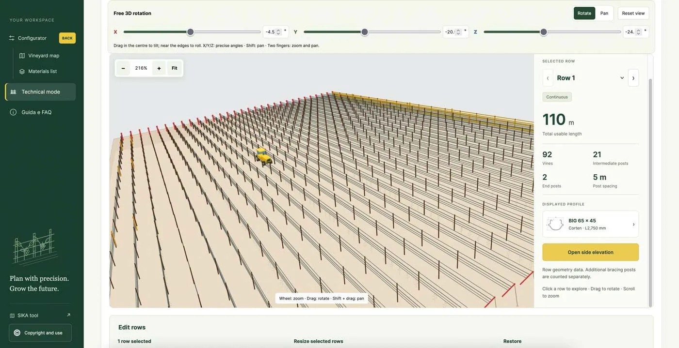
Click a row to see its length, vines, intermediate posts, end posts and post spacing. You can select one or more rows, delete them with the DEL key or shorten them with a start or end trim. With Areas without vines you draw obstacles such as wells, trees or buildings, as a rectangle or a free shape: rows stop at the boundary and materials are recalculated automatically. This is especially useful for a small vineyard layout, where every row counts.
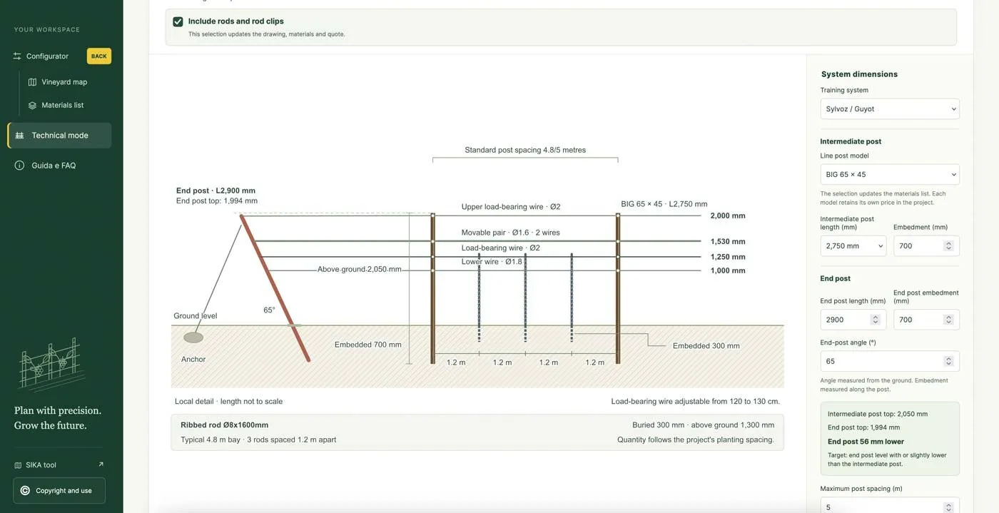
In Technical mode, the Side elevation shows the row in section, with the dimensions of posts and wires. For Sylvoz / Guyot you choose the intermediate post: BIG 65 x 45, MEDIUM 51 x 41 or the tubular ORBIT Ø50 x 61. Then you set the length and embedment of the posts, and the length, embedment and angle of the end post. You can choose which wires to use and at what height, add an optional drip line at 600 mm and include rods and rod clips. Every choice updates the drawing, the materials list and the quotation. For recommended heights, read our guides on grape trellis height and trellis wire gauge and spacing.
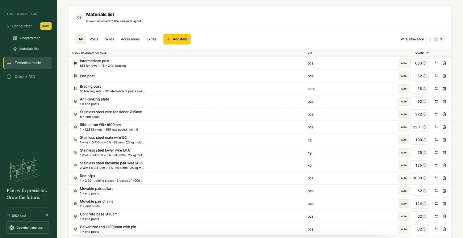
The Materials list fills in automatically: intermediate posts, end posts, bracing posts, anti-sinking plates, wire tensioners, wires in kg, rods and anchors, with the calculation rule shown for each line. Quantities stay editable and you can add items manually. If you have prices, enter them in the list, set discount, VAT, transport and offer validity, and download the quotation as PDF with the map and side elevation, or as CSV. If you do not have prices, send the project to Sika and we will prepare the quote for you.
Save the project as a file, with a password (at least 8 characters) or without a password for a quick copy. Both keep dimensions, materials, prices and customer details. To reopen it, use Load project. If you receive a project file from Sika, open the configurator, press Load project and enter the password you received: the PDF is the document to read, not the file to import.
Vigneto Facile gives you an indicative study and an editable materials list, not a structural design. Before ordering and installing, the site survey, loads and choice of components should be checked with a technician. It is the ideal starting point to get an accurate quote, faster. Design your vineyard with Vigneto Facile.


Yes. It runs online in your browser, with no registration, in English, Italian, French, German and Spanish.
Yes. You can draw the boundary by hand or import the field perimeter as a KML or KMZ file from Google Earth.
Sylvoz / Guyot, with a load-bearing wire and a movable pair, and Single curtain, with a single top wire.
Yes. Enter the real size of your plot, remove rows or add areas without vines, and the posts, wires and vines are recalculated for that size.
No. It is an indicative study: before ordering and installing, the site survey, loads and components should be checked with a technician.
Send us your project or your field size: we will check posts, wires and quantities and send you a quote within 24 hours.
Fill out the form to receive the catalog and get a free, no-obligation quote within 24 hours.




Stay in touch with SIKA to keep up with news, offers and valuable advice from our experts!
We use Mailchimp as our marketing platform. By signing up, you agree that your information will be transferred to Mailchimp for processing. Learn more about Mailchimp’s privacy policy.